Bohemia is largely enclosed by mountain ranges: Šumava to the south-west, the Krušné hory to the north-west, the Krkonoše and other ranges to the north. Moravia, by contrast, opens more towards the east and south-east, with gentler, more fertile areas crossed by the Morava River and historically connected to the Danube basin. This geography has had practical consequences: it has shaped trade routes, crops, settlement patterns, natural defences and even the Czech sense of landscape, often more inland than maritime, more forested and hilly than defined by wide open horizons. [1] [2]
Climate, altitude and agricultural landscapes
The Czech climate is formed by the meeting of oceanic and continental influences. Bohemia feels western and Atlantic currents more strongly, while Moravia and Silesia have more continental traits. Altitude also matters. According to Czech statistical data, about two thirds of the country lie below 500 metres, almost one third between 500 and 1,000 metres, and only a small share above 1,000 metres. This explains why the Czech Republic can produce cereals, rapeseed, potatoes, fodder crops, fruit, vegetables, hops and grapes, but not everywhere in the same way.
The lower and more fertile areas are better suited to intensive crops; hilly and mountain areas are more closely linked to pastures, forests, potatoes, livestock and tourism. In 2025, Czech farmers used around 3.542 million hectares of agricultural land: 71% was arable land, 28% permanent grassland, and about 1% consisted of hop gardens, vineyards and orchards. This is an important figure because it reveals a reality that is often overlooked: the Czech Republic is not only Prague, castles and beer, but also an agricultural country where the shape of the land decides what is worth growing and what instead requires more work, irrigation or protection. [2] [3]
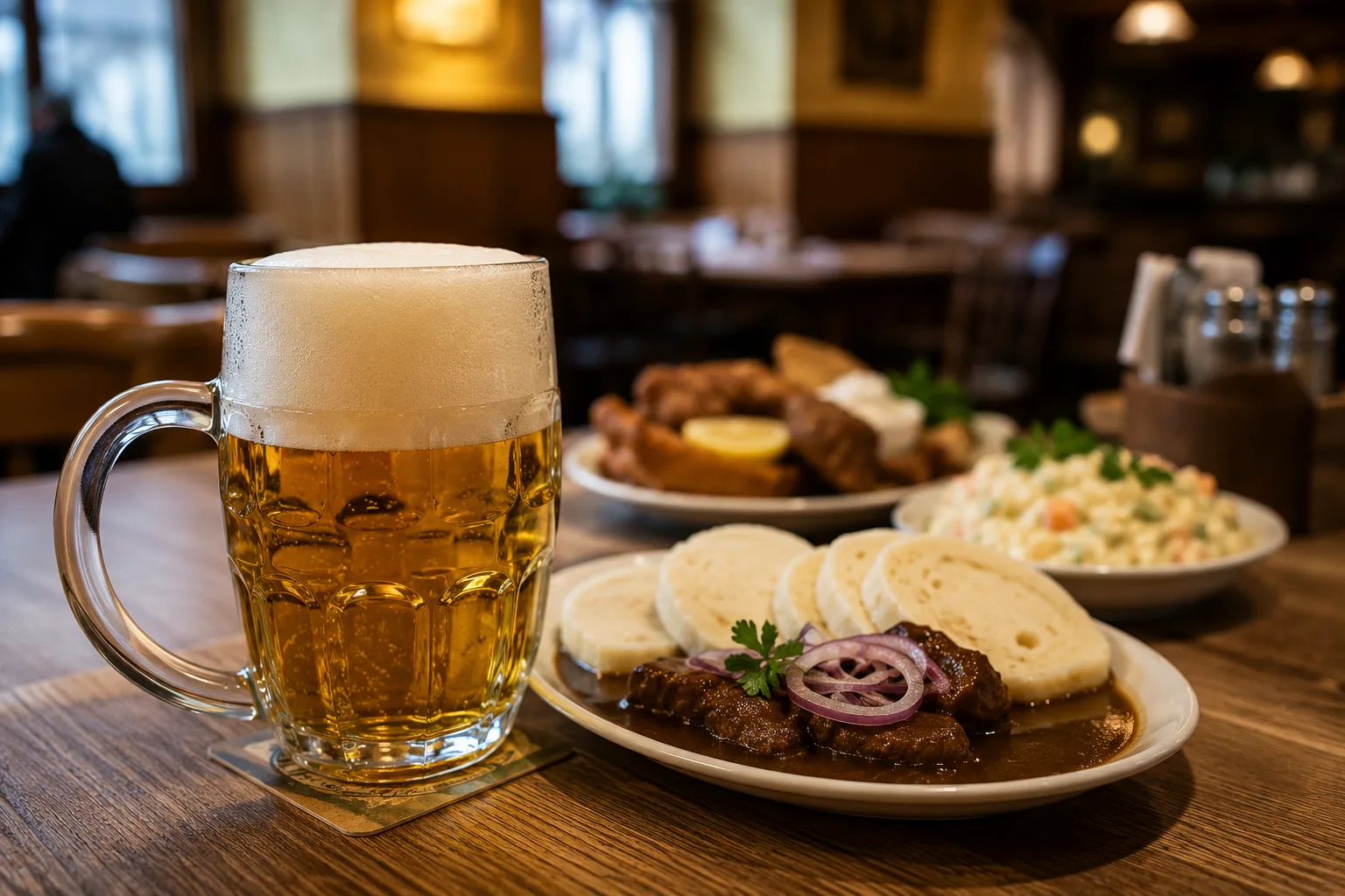
Hops, beer and vines: when geography becomes flavour
Among the most identity-rich crops are hops. The area around Žatec, in north-western Bohemia, is famous because it offers particularly favourable conditions for growing aromatic hops used in beer production. This is not only agriculture: the Žatec hop landscape is also cultural heritage, made up of fields, villages, drying houses, warehouses and trading traditions. Czech beer, then, is not born only from a recipe, but from a precise geography. Much the same can be said of wine. The Czech Republic has two official wine regions: Bohemia and Moravia.
The Bohemian wine region mainly includes the areas of Litoměřice and Mělník, while Moravia is the true heart of Czech wine, with the subregions of Znojmo, Mikulov, Velké Pavlovice and Slovácko. Almost 96% of the country’s registered vineyards are in Moravia. The climate here allows grapes to ripen more slowly, often favouring fresh aromas, lively acidity and very distinctive white wines. This is also a useful way to talk about Czech culture: beer and wine are not just drinks, but two different ways in which the land enters everyday life. Hops speak of north-western Bohemia; wine speaks above all of southern Moravia. [4] [5] [6]
Forests: a fragile richness
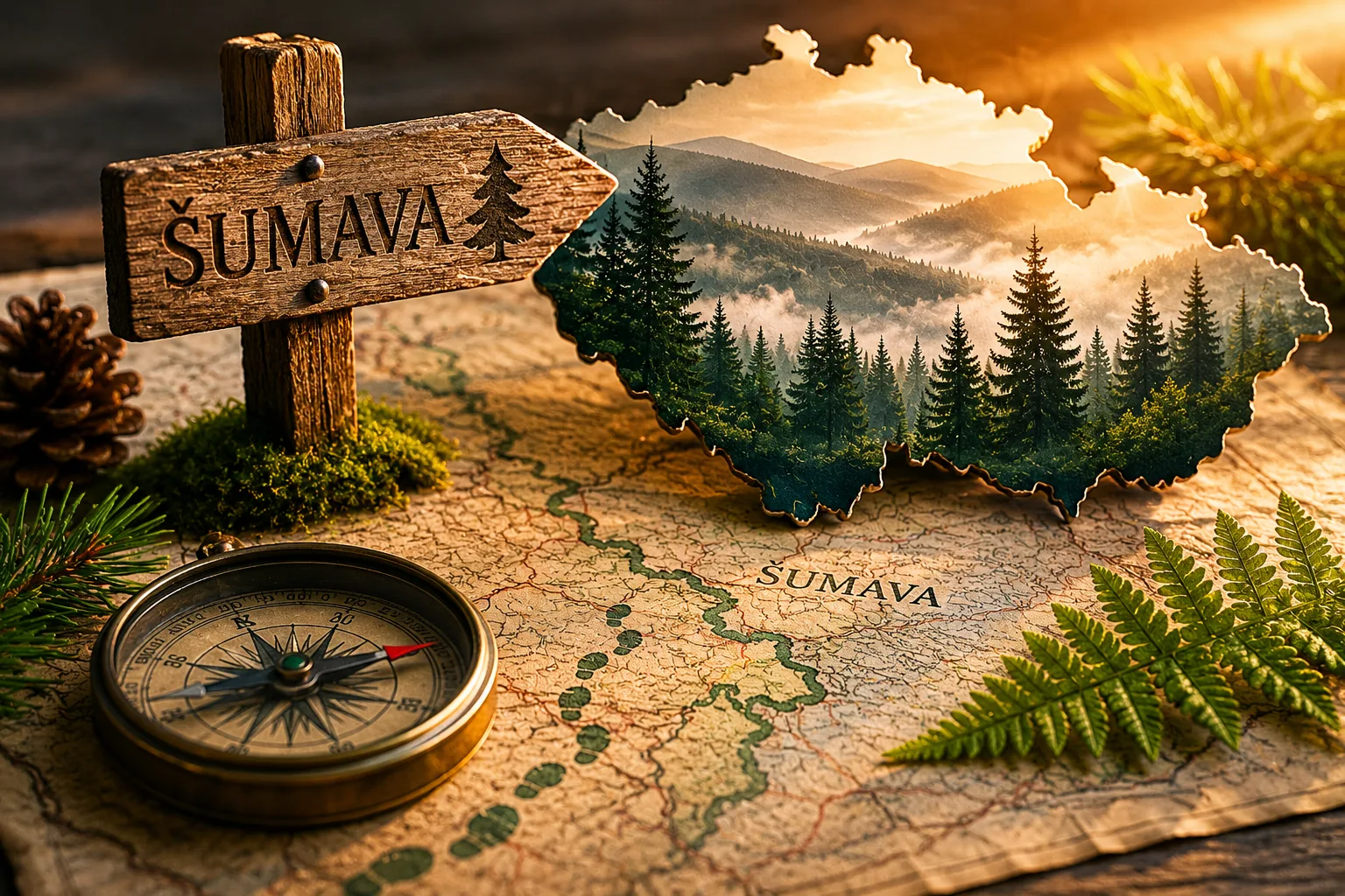
Forests cover roughly one third of Czech territory and are one of the strongest images of the national landscape. They are especially visible in mountain and hilly areas: Šumava, Krkonoše, Jeseníky, Beskydy, Vysočina and many less famous places that are nevertheless vital for water, biodiversity, timber and tourism. But Czech forests are not all “natural” in the romantic sense of the word. In many areas, for historical and economic reasons, conifer forests were favoured, especially Norway spruce, often in simple and not very diverse structures. This has made some forests more vulnerable to drought, wind and the bark beetle, the insect that has caused enormous damage in recent years.
The Czech environmental report notes that the major bark beetle outbreak, which began in 2015 in northern Moravia and then spread to other regions, peaked in 2020; by 2023 the situation had improved, but the overall health of forests was still problematic, partly because their composition is not always well suited to the current climate. The challenge, then, is not simply to “plant trees”, but to rebuild forests that are more mixed, more resilient and better adapted to local conditions. For a landlocked country, forests are also a kind of natural infrastructure: they hold water, cool the land, protect the soil and give identity to the landscape. [2] [7]
The climate crisis: more heat, more extremes, more pressure on water
Czech geography today also has to be read through the lens of the climate crisis. According to the national environmental report, the average annual temperature in the Czech Republic is rising by about 0.35 °C per decade, a pace described as roughly twice the global average. Rising temperatures are not an abstract detail: they bring greater risks of drought, fires, torrential rain and flash floods. For agriculture, this means less predictable seasons. Some crops may temporarily benefit from warmer periods, but water becomes the critical factor.
Hops, for example, are sensitive to climate stress; vineyards may shift or change their balance, but not automatically for the better; cereals increasingly depend on the distribution of rainfall, not only on the annual total. Forests also pay the price, because drought and heat weaken trees and favour pests such as the bark beetle. The Czech paradox is this: the country can face both droughts and sudden floods, because a more unstable climate does not simply mean “less water”, but water arriving at the wrong times and in the wrong ways. For this reason, the geography of the Czech Republic is not fixed: it changes with temperatures, land use, river management and the ability of fields and forests to adapt. [7]
A brief geographical synthesis
Looking at the Czech Republic through geography helps us understand it better. Bohemia enclosed by mountain ranges, Moravia more open and agricultural, wooded mountains, cultivated plains, the hop fields of Žatec, the vineyards of southern Moravia and the rivers that cross the country are not separate elements. They form a system. Food traditions, the agricultural economy, tourism, environmental risks and even cultural identity depend on that system. Geography explains why some areas are tied to beer, others to wine, others to forests, and others again to broader agricultural production.
But today that same geography is under pressure: a warmer climate, water management, forest health and the need to make agriculture more resilient are not issues for specialists only. They concern the concrete future of the Czech landscape. The Czech Republic remains a country of hills, valleys, fields and forests; but the way these elements are protected and used will decide how productive, liveable and recognisable they remain in the decades ahead. [1] [2] [7]
Bibliography


Discussion
Join discussion!
There are already 0 comments on this article in the forum.